
ZIP Codes Serving Holladay
The Utah small-area health table pairs Holladay with 84117 and 84124 and separately identifies Cottonwood with 84121. That is useful context, but it is not a full USPS boundary map. The USPS ZIP guidance is the correct place to standardize a particular delivery address.
| ZIP | Areas covered or relationship | Post office | Notes |
|---|---|---|---|
| 84117 | Principal Holladay postal area, including much of central and western Holladay | Salt Lake City or Holladay-format delivery labels vary | Check the full address |
| 84124 | Eastern and northeastern Holladay, including foothill-adjacent areas in the regional table | Salt Lake City routing | Extends beyond a simple city outline |
| 84121 | Adjacent Cottonwood and Big Cottonwood area, with some edge references | Salt Lake City routing | Do not assign every address to Holladay |
Each row needs three labels when available: USPS city and ZIP, legal municipal jurisdiction, and Salt Lake County parcel jurisdiction. That is the safe format for a Holladay ZIP code directory.
Holladay ZIP Delivery Geography
A ZIP code organizes delivery routes. It is not a polygon that follows Holladay’s legal boundary. A Holladay parcel may carry a Salt Lake City mailing city, while a Holladay-format postal line can fall outside the city. USPS controls delivery standardization; Salt Lake County Assessor GIS and the Utah municipal-boundary dataset answer the legal-location question.
Do not call a ZIP result “all Holladay residents.” Label it a postal-area slice, add the source date, and state whether the underlying rows are parcels, registered voters, business records, or historical directory entries.
- ZIP code
- A postal routing code used to sort and deliver mail.
- ZIP+4
- A more specific delivery extension attached to a five-digit ZIP.
- PO-box ZIP
- A ZIP used for a post-office box rather than a physical parcel.
- Unique ZIP
- A specialized ZIP assigned to a particular organization or delivery pattern.
- Carrier route
- A delivery path within the postal system, not a city boundary.
Verify a Holladay Address with USPS
Use the USPS lookup on a complete street address. The postal tool supplies the standardized delivery line and current ZIP. A historical post-office table may be out of date, so the current address lookup is the better output for present work.
- Enter the full street number, street name, city, state, and ZIP if known.
- Save the standardized line and note any postal city difference.
- Compare the physical location with the Salt Lake County parcel viewer.
- Keep situs and tax-mailing addresses separate in the worksheet.
- Use the ZIP only as a filter or clue, not as proof of a city-limit fact.
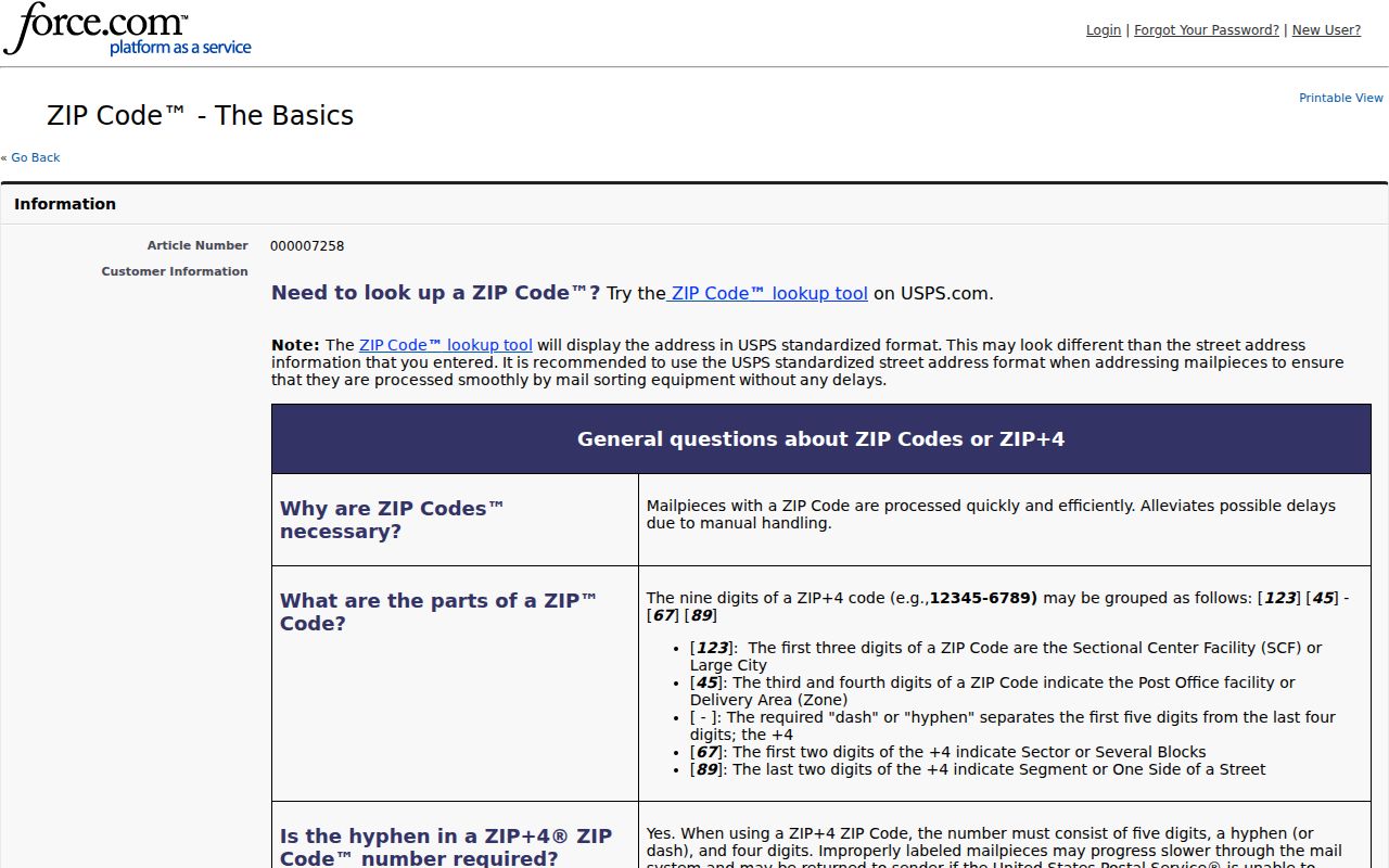
The USPS ZIP Code basics page explains address standardization.
Map Holladay ZIPs to Parcels
The Salt Lake County Assessor searches owner, address, and parcel. Its classic query adds street components, property type, and a first-seven-digit parcel prefix that can cover a block. The GIS viewer searches parcel, owner, address, and property type and lets a user click, pan, select, draw, and export map results. The simple assessor form does not document a ZIP field, and no confirmed ZIP-wide assessor filter was located.
Use GIS and Utah’s municipal boundary data together. A ZIP can cross a city, county, census, or neighborhood line. A tax mailing ZIP can differ from the situs ZIP. Preserve the parcel ID and legal description before adding a person’s name to the record.
Holladay and Cottonwood at the Edge
The 84121 reference is the clearest edge trap. The cited health geography pairs Holladay with 84117 and 84124, then lists Cottonwood with 84121. That grouping is statistical, not proof that every 84121 address sits in Cottonwood or that every 84124 address sits inside Holladay. Check the parcel map and municipal boundary before assigning a place.
Holladay’s municipal footprint also changed after incorporation on November 30, 1999. Additions and annexations in 2002, 2003, 2005, and 2015 mean an older county or neighborhood record can describe a place now inside the city. ZIP labels do not rewrite those historical jurisdictions.
Holladay ZIP Voter Lookup Field
Vote Utah’s voter status form displays first name, last name, date of birth, street address, city, and ZIP. This is an individual search, not a public ZIP browse. It can test a known person and address, subject to protected voter status. Full voter-list access is a separate request route through the state or Salt Lake County Clerk.
The public list fields described in the research include name, physical and mailing addresses, year of birth, party, vote history, districts, status, voter ID number, and update date. Full DOB, driver-license or state-ID number, SSN, and At-Risk records remain protected. Vote history does not reveal ballot choice.
Holladay ZIP Search Limits
The documented answer is limited. The current assessor form has no published ZIP field. The classic interface can search street parts and parcel prefixes, and GIS can browse a map, but a confirmed public ZIP filter was not found. Voter status includes ZIP for one person. A full ZIP output therefore needs an authorized voter-file request or a carefully defined parcel extraction under county terms.
| Tool | ZIP-related use |
|---|---|
| USPS | Standardizes the full delivery address and current ZIP. |
| Assessor | Attaches owner and parcel data after address or parcel search. |
| GIS | Tests legal parcel location and surrounding geography. |
| Vote Utah | Uses ZIP in an individual status form. |
| Voter-file request | May permit authorized filtering after delivery, with current restrictions. |
Note: A ZIP-wide output needs a date and method label because it is not a complete resident census.
Holladay Historical ZIP Labels
Do not back-project today’s ZIP to a 1950 directory or census page. Older books may use Holladay Settlement, Holladay’s Burgh, Cottonwood, Big Cottonwood Settlement, Salt Lake County, or Salt Lake City/Suburban. A directory entry can reflect a post office or rural route rather than a legal city. Pair the old place name with a street, parcel, plat, school, canal, business, or family detail.
The Holladay city directory collections are the right historical shelf. The ZIP code directory is a modern geography layer that helps organize an address, not a substitute for the historical source. A Holladay ZIP code directory should never back-date a postal label.
Holladay ZIP Results Need Dates
For a broad slice, state the ZIP, source, date, and record type. Parcel rows show owners and property attributes. Individual voter results show a supplied registration when public. Business lists show principals at business locations. Historical directories show dated householders. None of these categories should be collapsed into “residents” without an explanation.
Three-way check. Confirm delivery with USPS, legal location with county GIS and municipal boundaries, and person-to-address evidence with the appropriate custodian.
If the result is incomplete, use the county clerk, Recorder, Assessor, Archives, or a GRAMA request. The research found no dated Holladay ZIP split or realignment history, so do not invent one to explain a mismatch.
For every Holladay ZIP code directory row, retain the USPS city line, the parcel jurisdiction, and the date checked. Those labels make edge cases visible instead of hiding them inside a broad postal count.