
Finding Holladay Addresses Street by Street
A useful street directory starts with one normalized address. Check its postal spelling, then search the county assessor and save the parcel ID before looking for people. That key keeps a mailing line, legal description, and street label from being mixed. The chain below uses every documented channel, including the offline fallback when a portal does not expose the needed record.
- Run the address through the Salt Lake County Assessor, selecting the autocomplete result.
- Open the parcel in the Assessor Parcel Viewer, click the target, and note adjacent parcel IDs.
- Read the latest Recorder document, then search the grantor as an earlier grantee when a past owner matters.
- Use Vote Utah for one supplied name and address, not repeated searches to make a street roll.
- Ask Holladay City Hall or file a GRAMA request for a planning, permit, code, or license record by address and date range.
- Check a dated geographic directory, census page, obituary, or map for older occupants and street names.
This path finds who owned land, who filed an application, and who appeared in a source. It does not promise a list of every household. That is the central limit of a Holladay street directory.
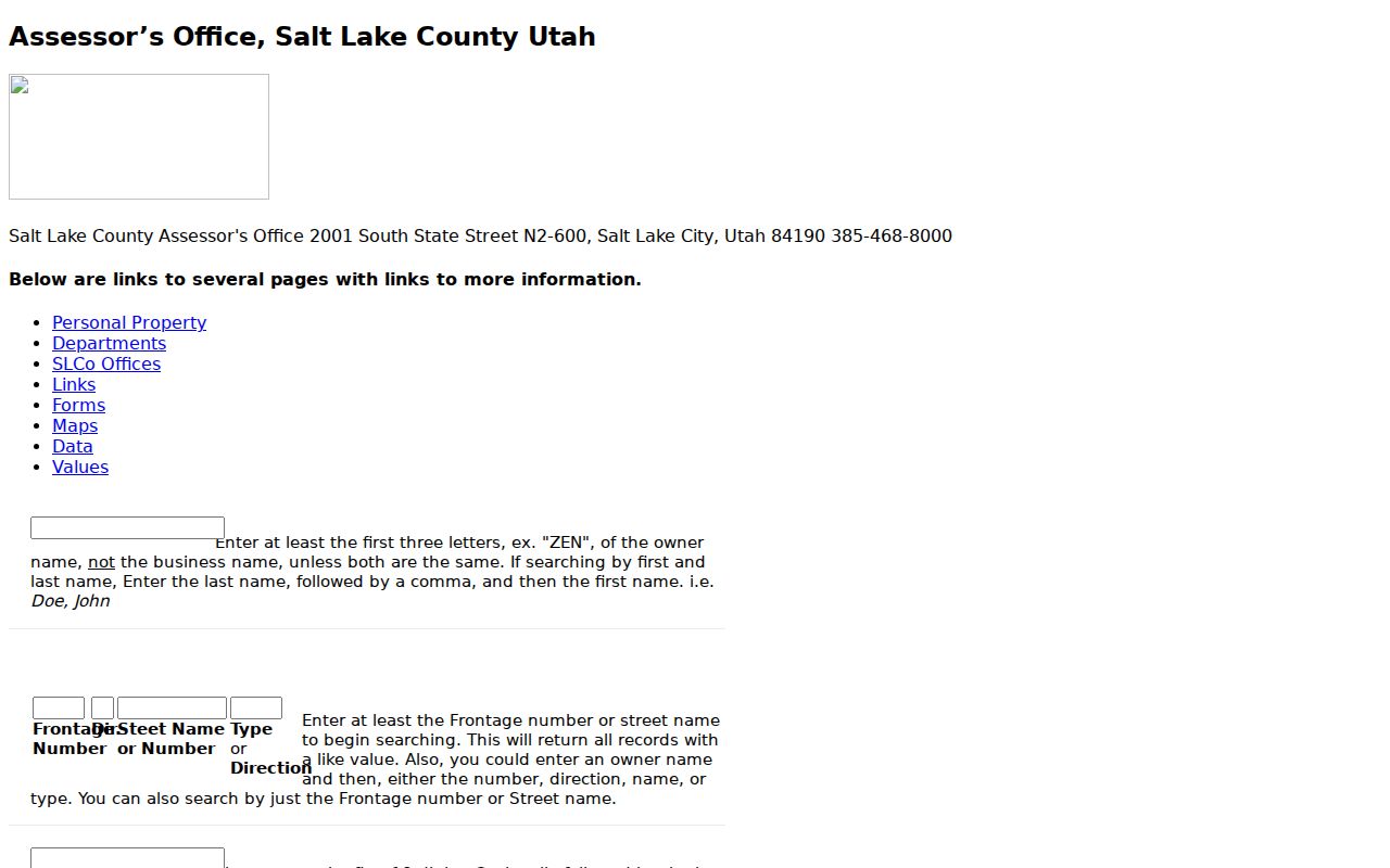
Holladay Assessor Search Controls
The current assessor form accepts owner, address, and parcel number. The classic query is better for a long street because it separates frontage number, direction, street name or number, and type or direction. Owner names use last name, first name. The first seven parcel digits can search every parcel on a block, while a first-ten-digit entry narrows the parcel family.
| Field or control | Type and local use |
|---|---|
| Owner | Optional text, last name then first name; classic search suggests three letters. |
| Address | Autocomplete text; choose the county value rather than free-typing a guess. |
| Parcel number | Optional text in the displayed 00-00-000-000-0000 pattern. |
| Frontage number | Classic street component for a number-led address search. |
| Dir. and street name | Separates directional and name parts for like-value matches. |
| Type or direction | Street type or directional suffix in the classic query. |
| Parcel prefix | First seven digits can test a block; first ten can narrow an ownership unit. |
Note: County information can be 24 hours old or older, so record the search date beside the parcel result.
GIS Parcels Along a Holladay Street
The County Assessor GIS viewer has Find Parcel Number, Find Owner, Find Address, and Find Property Type controls. Click a parcel for details, drag to pan, use map zoom, and select adjacent polygons one at a time. Point, Line, and Polygon drawing and Select by Graphic can mark a street segment. Export controls include PDF, JPG, PNG, GIF, EPS, SVG, and related formats.
The viewer is a map and index bridge. Its documented result limit is the first 1,000 results, and the county disclaims accuracy, completeness, and timeliness. Use parcel geometry and the tax-district layer to understand a block, then use the Recorder for the recorded title instrument. Aerial imagery gives context, but it is not a survey or proof of a fence line.
The Assessor GIS information explains the parcel and map role.
Address Records in Holladay
Each record set below has a different meaning. Keep one row per parcel, then add separate columns for ownership, mailing destination, applicant, voter status, and historical occupant. That layout prevents a business principal or directory householder from being treated as a current resident.
| Record set | Keeper | Street signal | Access |
|---|---|---|---|
| Assessor parcel | Salt Lake County | Owner, situs, mailing clue, value, type, parcel | Free portal and counter |
| GIS parcel | Assessor GIS | Geometry, adjacency, tax district, selected identity | Free viewer |
| Recorded deed | Recorder | Grantor, grantee, date, document, legal description | Index; copies and images by service |
| Planning file | Holladay CED | Owner, applicant, project, zone, dates, parcel | Form or GRAMA request |
| Voter status | Utah and county elections | One supplied person and address | Individual form |
| Historic directory | Libraries and Marriott | Dated householder or street entry | Digital or in person |
The Holladay city directory collections are the deeper route for old geographic pages. Current address work should stay with the assessor, GIS, Recorder, and city records. The modern street directory is strongest when its parcel rows preserve dates.
From Parcel to Holladay Deed Chain
Start with the parcel card, not a guessed name. The Recorder public search can display active parcel placement, property address, document count, document number, recording date, document type, cross-references, current owner, and legal description. A public result may label the description “For Taxation Purposes Only,” making it a finding clue rather than the recorded legal instrument.
Open the most recent deed and write down the grantor, grantee, date, number, book or page when shown, and legal description. Search the grantor as grantee to locate the deed into that owner. Continue backward. If the street fails, search the lot, block, subdivision, or metes-and-bounds description. A $5 twenty-four-hour Data Services option and copy charges are documented; the counter, Archives, and GRAMA are alternate channels. This deed step gives a street directory historical depth.
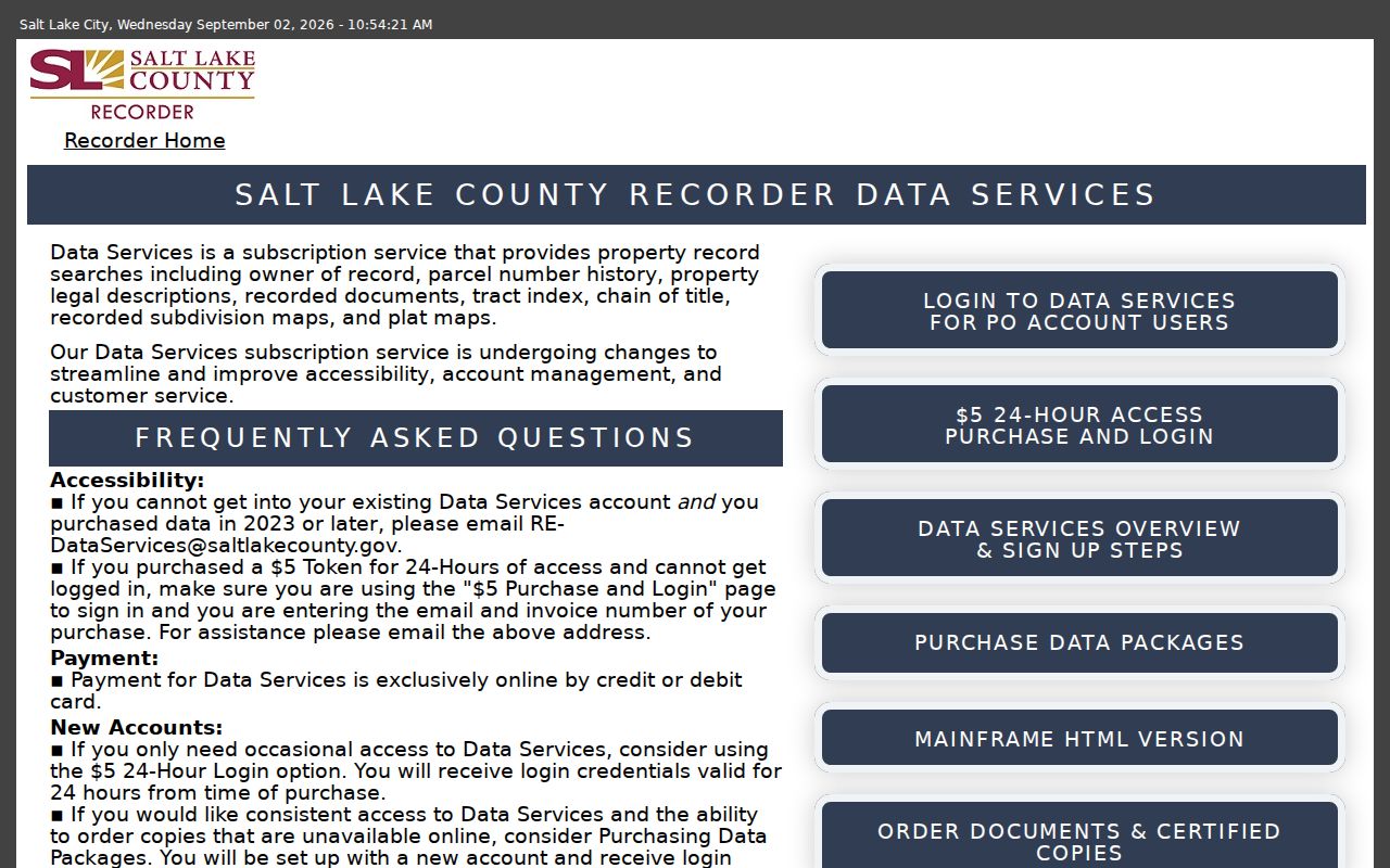
The Recorder Data Services page documents chain-of-title and the short paid-access option.
- Parcel
- A mapped land unit with a county identifier.
- Situs address
- The physical location of the parcel.
- Plat
- A recorded map relating lots, blocks, streets, and subdivisions.
- Criss-cross directory
- A reverse directory turning a street or address into a listed household or phone entry.
Planning Evidence by Holladay Address
Holladay land-use applications are address keyed. The inspected form asks for project and property address, applicant, owner, mailing address, phone, email, summary, file number, parcel, zone, acreage, filing date, and Planning Commission or City Council action dates. Request types include site plans, rezones, plats, code changes, conditional uses, street changes, historic designations, annexations, and lot-line work.
Complete applications are submitted three weeks before a desired Planning Commission date; the form notes Tuesday TRC review, first and third Tuesday Planning Commission meetings, and first and third Thursday City Council meetings. These details create a dated project trail, not a residence list. No public searchable Holladay building-permit index was located. Call City Hall at 801-527-3890 or request a narrow address and date range through GRAMA. Code complaints may have restricted complainant information.
Holladay Street Names Across Eras
Older records may say Holladay Settlement, Holladay’s Burgh, Cottonwood, Big Cottonwood Settlement, Salt Lake County precinct, or Salt Lake City/Suburban. The 1912 trolley reference connects the area with Big Cottonwood Settlement, and modern labels include Murray-Holladay Road, Highland Drive, Wasatch Boulevard, 2300 East, 2700 East, 3900 South, and 4500 South. Search variants, then hold the parcel and legal description constant.
Holladay incorporated on November 30, 1999. Annexation episodes include North Holladay, Olympus Heights, Sunnyside Heights, Highland Drive and Van Winkle areas in 2002, 2003, and 2005, plus Olympus Hills in January 2015. A pre-annexation tax, permit, or planning record can sit in a county series even when the parcel is inside today’s city.
Note: A documented street-identification change fee exists, but a complete official rename and renumber list was not located.
Voter Results Are Not a Street Roll
Vote Utah’s individual form has first name, last name, date of birth, street address, city, and ZIP. It can test a supplied person and address. It is not a public browse mode for every name on a street. A full county or statewide list follows a separate request process, with statutory restrictions and protected records. At-Risk voters can be absent, and full DOB, driver-license or state-ID number, and SSN remain protected.
Use the elections office for status, privacy, or voter-certificate questions. Do not make a street directory by repeatedly submitting names. An inactive status does not show that a person never lived at the address, and a missing status does not show that no person lives there.
Holladay Street Directory Alerts
The Recorder’s free Property Watch can send email or text alerts for new documents attached to a property. It is useful after an address has been tied to the right parcel, especially when a street study needs a dated transfer signal.
The county warns that some recorded documents may not attach to a property and that Property Watch does not determine clear title. Compare an alert with the public index and the recorded instrument. A notice is a prompt to verify, not proof of a new occupant or a complete street directory.
What Holladay Street Records Leave Out
Owners, applicants, registered voters, and historical householders are not the same class of person. Renters and other household members are not indexed by the assessor. Utility and delivery accounts are not public resident lists. DMV personal-address information is restricted under the Driver’s Privacy Protection Act. A business registered-agent address may be an office, and a tax mailing address may be out of county.
Lawful use. Use an address trail for personal records, family history, civic research, or a property question. Repeated lookups paired with unwanted contact can become stalking or harassment under Utah law. Do not use records to intimidate or harm anyone.
When sources disagree, preserve the dates rather than choosing the result that fits a story. The Assessor is a working property index, the Recorder supplies recorded instruments, the city supplies municipal files, and the voter form supplies a limited status check. A trustworthy street directory shows which office supplied each line.
For a disputed boundary, transfer, or identity, keep the official document number and ask the custodian. A neat spreadsheet is useful only when each row retains its source and date.